
The location of Langley City has always been at an important crossroads. Whether it be for the First People who used the area to portage between the Salmon River and Nicomekl River, or the settlers who came in more recent times. Langley City as we know it today started because it was at the crossroad of Yale Road which provided access to the Fraser Valley and Interior, and Glover Road which provided access to Fort Langley.
Earlier this summer, I posted some aerial photos of what Langley City looked like in the mid-20th century. Some of our oldest streets have the name “Crescent” in them.
 |
| Aerial photo of mid-20th century Downtown Langley City with markup. Select image to enlarge. |
One of the other things that people might not know is that all of the lanes in Downtown Langley also have names. While Salt Lane is likely known by most people in our community, due to the large sign that you must go under, most people likely don’t know about the other lanes in our Downtown.
Fenton Lane is between Viva Mexico and Ten Thousand Villages. Locke Lane runs behind the Casino. Fuller Lane runs between Douglas Crescent and Fraser Highway. Recently, the City has installed a sign at McBurney Plaza to give better visibility to this lane.
 |
| Locke Lane sign. Select image to enlarge. |
If you walk along Fuller Lane between McBurney Plaza and 204th Street, you’ll be treated to some fun murals.
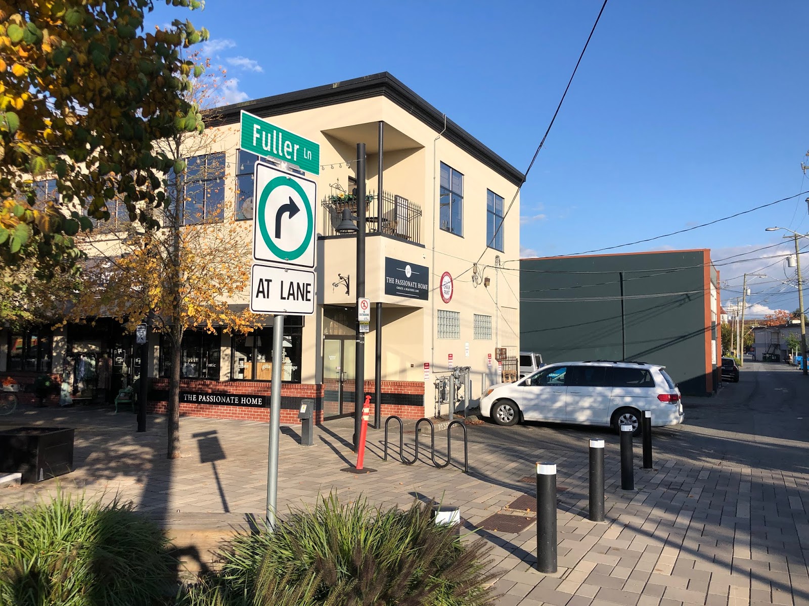 |
| Fuller Lane in Downtown Langley. Select image to enlarge. |
In the future, I can see Fuller Lane becoming a shared lane similar to lanes on Granville Island. There is opportunity for pop-up retail along this lane, and for transforming this lane into a great public space.
Names are important, and I believe it is important to know the history of our community. I’m happy to see that we are making the names of our historic lanes in Langley City more visible.
No comments:
Post a Comment