
Local governments often talk about promoting sustainable modes of transportation like walking, cycling, and transit. While local governments love talking about sustainability, sometimes it just remains talk.
Way back in 2011, the City of Langley commissioned a wayfinding strategy. Currently, the City has a hap-hazard assortment of mostly auto-oriented wayfinding. The wayfinding strategy proposed an integrated wayfinding network for all modes of transportation. Wayfinding signage would direct people to and around the City’s downtown core. It would also guide people around the City’s trail network; connecting downtown, local parks, and the Nicomekl floodplain.
 |
| Proposed wayfinding signage. Click image to enlarge. |
 |
| Proposed downtown walk/cycling information signage. Click image to enlarge. |
Last year, the City approved funding to get this project started. Last night on my way home from work, I noticed the first of the new pedestrian wayfinding signs and maps installed. I decided to take some pictures this morning.
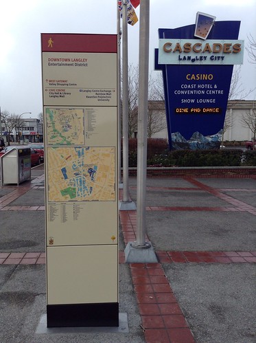
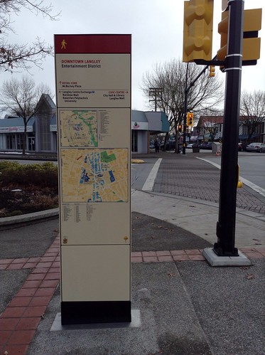
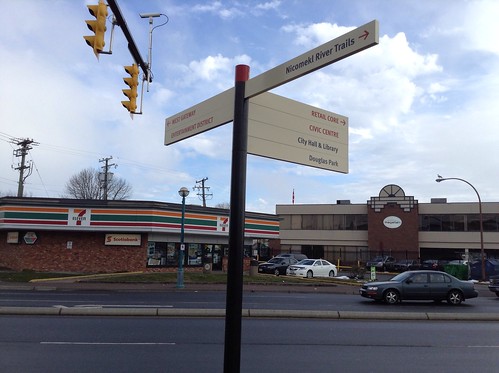
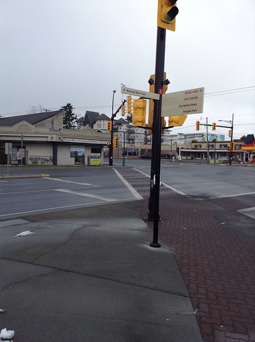
These signs are easy to read and actually look nice. I’ve been told that trail head signage will also start being installed shortly. I’m very exciting to see that the City of Langley is starting to treat all modes of transportation equally, and I look forward to seeing more pedestrian and cycling wayfinding signage being rolled out city-wide.
No comments:
Post a Comment