Monday, September 18, 2017

Census shows more apartments in Metro Vancouver. How does Langley City stack up?

Earlier this year, I posted about the changing housing stock in Langley City. The area of Langley City north of the Nicomekl is in one of the major Regional City Centres as identified in Metro Vancouver’s Regional Growth Strategy. This area has been zoned for higher density for some time. Based on the 2016 census data, only 23% of the housing stock in Langley City is now single-family housing.

Map of Metro Vancouver Urban Centres. Select map to enlarge.

How does Langley City compare to the rest of the region? How does it compare to other communities with similar constrained footprints? The following table was put together by Metro Vancouver staff based on the latest census data.

Trending Shift to Apartment Units in Metro Vancouver. Select chart to enlarge.

White Rock and Langley City both have constrained footprints in the South of Fraser. White Rock is 5 square kilometres while Langley City is 10 square kilometers. Langley City has a higher percentage of apartment units.

The City of North Vancouver is 11 square kilometers —carved out from a larger district municipality with the same name in 1907— and has a higher percentage of its housing units which are apartments than Langley City.

Regional City Centres are meant to be nodes of higher density housing, office space, shops, and services which can be served by high-quality transit. The Langley Regional City Centre is one of the more significant centres as shown on the following table.

Dwelling Unit Growth in Metro Vancouver Urban Centres 2011-2017. Select chart to enlarge. 

The City of North Vancouver has the SeaBus which has enabled its walkable, accessible community focused along Lonsdale. With the introduction of rapid transit along Fraser Highway to Langley City, our community has a similar potential.

For more information, please read Metro Vancouver’s report titled “Metro 2040 Performance Monitoring 2011-2016.

Thursday, September 14, 2017

Census results show less farmland, but more revenue from farming in Metro Vancouver

Statistics Canada has been steadily releasing results from the 2016 Census. The Metro Vancouver Regional District has been providing regional insights based on this current census data. Metro Vancouver staff have recently presented information from the Census of Agriculture.

The following infographics provide an overview of the agricultural sector in our region.

Farming in Metro Vancouver Infographic – Land and Revenue

Farming in Metro Vancouver Infographic – Crops and Livestock

Close to a billion dollars, 26% of BC gross annual farm receipts, is generated from 1.5% of the agricultural land in our province. Metro Vancouver farmland in highly productive. The following table shows gross annual farm receipts by municipality.

Gross Annual Farm Receipt, 1995 - 2015. Select table to enable.

The Township of Langley, Delta, and Surrey are responsible for 80% of farming revenue in our region which has been growing steadily over the last 15 years. Farming revenue has been declining in Maple Ridge likely due to urbanization. It is interesting to see the growth in urban agriculture in the City of Vancouver.

Gross Annual Farm Receipts per Hectare. Select table to enlarge.

Both the City of Vancouver and Burnaby have the highest revenue per hectare. While they have the highest revenue per hectare, the Township of Langley is still the farming capital of Metro Vancouver.

Of further note is that the average age of farm operators is continuing to increase while the number of farm operators continues to decrease. This shows that there is a limited number of next-generation people who will be able to continue with farming. Automation will likely be what carries farming forward in our region.

Metro Vancouver total farm area is at the lowest level in over 20 years, but the farm receipt revenue generated from that land is at its highest.

Total Farm Area, 1996 - 2016. Select table to enlarge

For more information, please view the Metro Vancouver Regional Planning Committee agenda from September 8.

Wednesday, September 13, 2017

September 11, 2017 Council Meeting Notes: Crime Prevention, Developer Fees, and Project Updates

Yesterday, I posted about a development permit that was issued for a new bank in Downtown Langley at Monday night’s council meeting. I will be covering the remaining items that were on that agenda.

Metro Vancouver is increasing developer cost charges (DCC) for sewer. This fee is charged to every new development project in the region. Langley City is part of the Fraser Sewerage Area. As I posted about in August, the sewerage DDC is increasing significantly to cover some $2.6 billion in sewerage projects. This was discussed at the council table. Councillors Martin motioned that a letter be sent to all councils in the Fraser Sewerage Area informing them of the increase, and expressing concern at the sudden change. This motion passed.

On the topic of developer charges, council approved increasing our Community Amenity Contributions from $1,000 per multifamily unit to $2,000 per unit. The funds collected are used for items such as civic facilities, public art, recreational amenities, and cultural amenities.

As you can read about in a previous post, the Langley City Crime Prevention Task Group wants to increase awareness around and promote CPTED reviews, Block Watch, and Business Watch. Council approved the following motion:

  1. THAT Council direct staff to work with local media to participate in and follow the steps to set up an actual Block Watch program.
  2. THAT Council direct staff to create a major social media campaign to promote Block Watch, Business Watch, and CPTED review programs.
  3. THAT Council direct staff to work with the RCMP, Chamber of Commerce and Downtown Langley Business Association to promote Block Watch, Business Watch and CPTED review programs.
  4. THAT Council direct staff to identify a local supplier who may be able to partner with the City on motion sensor lights that may be supplied to businesses and residences at discounted prices.

The committee also asked for funding to purchase fridge magnets to promote the reporting of suspicious activates to the RCMP Non-Emergency number. There was discussion that bookmarks might already be available that could accomplish the same task. This was referred to the Crime Prevention task group for further investigation.

Councillors van den Broek also inquired about the status of the City Watch program, a program where municipal staff report suspicious activity to the RCMP. An update on the status of that program will be forthcoming.

Council also approved some housekeeping items including updating our flag policy to allow half-masting when a former member of council dies, allowing outdoor propane or natural gas fireplaces or fire pits, and updating the title of the position responsible for corporate administration.

Council received an update on capital projects that are under construction or recently completed. The Innes Plaza refresh is nearing competition with a renovated fountain and new gardens. Work is also underway at Baldi Creek. Construction is completed on replacing a section of watermain along 200 Street. Work is also progressing well on the 200 Street Nicomekl Bridge renewal and 56the Avenue renewal. For a list of streets that are being repaved, please visit the City’s website.


200th Street Bridge Renewal. Select image to enlarge.

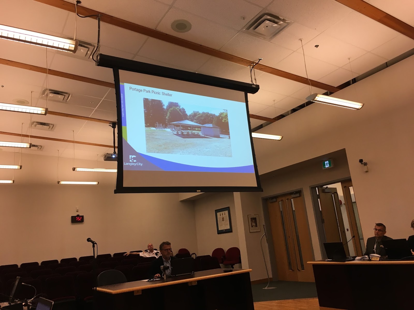
A new picnic shelter has been installed at Portage Park, and work continues with Hunter Park redevelopment and the spray park expansion at City Park.

New picnic shelter in Portage Park. Select image to enlarge.

Tuesday, September 12, 2017

September 11, 2017 Council Meeting Notes: New Scotiabank Branch at Valley Centre Mall

Last night was the first meeting of Langley City council since the August break. The first item covered on the agenda was a development permit for an in-fill project at Valley Centre Mall.

This time last year, the owner of Valley Centre was issued a development permit for an infill building along Fraser Highway. This building was to include a drive-thru restaurant. As I’ve stated in the past, drive-thrus and walkable downtowns are not the best combination. This original proposal was not built.

Last night, the owner presented a new plan to build an infill Scotiabank branch along Fraser Highway.

Rendering of new Scotiabank branch as seen from Fraser Highway. Select image to enlarge.

The Scotiabank building will have offices with windows that front Fraser Highway. This will help put more eyes and ears on the street, and build a street wall along Fraser Highway. There will be no drive-thru. This will result in a safer, more walkable, and engaging section of Fraser Highway.

Walking and cycling access will be provided directly from Fraser Highway though the main entrance faces west into the parking lot. I would have preferred to see the main entrance along Fraser Highway.

Updated site plan of Valley Centre Mall. Select image to enlarge.

The current entrance to Valley Centre Mall along Fraser Highway will also be improved to make walking safer, and will restrict turns by building a concrete median in Fraser Highway at that location.

The sidewalk along Fraser Highway fronting the mall will also be updated to modern standards, and will look similar to the sidewalk that is being built along 56 Avenue near Glover Road. A new raised crosswalk and new sidewalks will also be provided at the 201A Street entrance to the mall. Vehicle circulation will be improved too. These incremental improvements will make accessing the mall safer no matter if you walk, cycle, or drive.

I’m happy to see in-fill development along Fraser Highway that will enhance our downtown core. Council was told that construction of this project would be occurring right away.

Currently, there are two Scotiabank branches in Langley City. One along 56 Avenue near Glover Road, and another along 200 Street between the Langley Bypass and Willowbrook Drive. Even if one of the branches is relocated, it is good news as there will now be a bank that fronts Fraser Highway, our main street, in the downtown core.

Council approved issuing the development permit.

As a note, Westminster Savings is located at the eastern gateway of our downtown core. There is also an HSBC at the corner of 200th Street and the Langley Bypass.

Tomorrow, I’ll be posting about other agenda items covered at last night’s meeting.